What we do

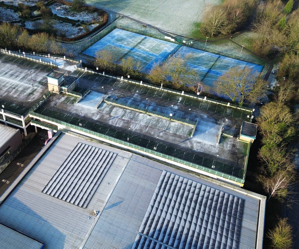
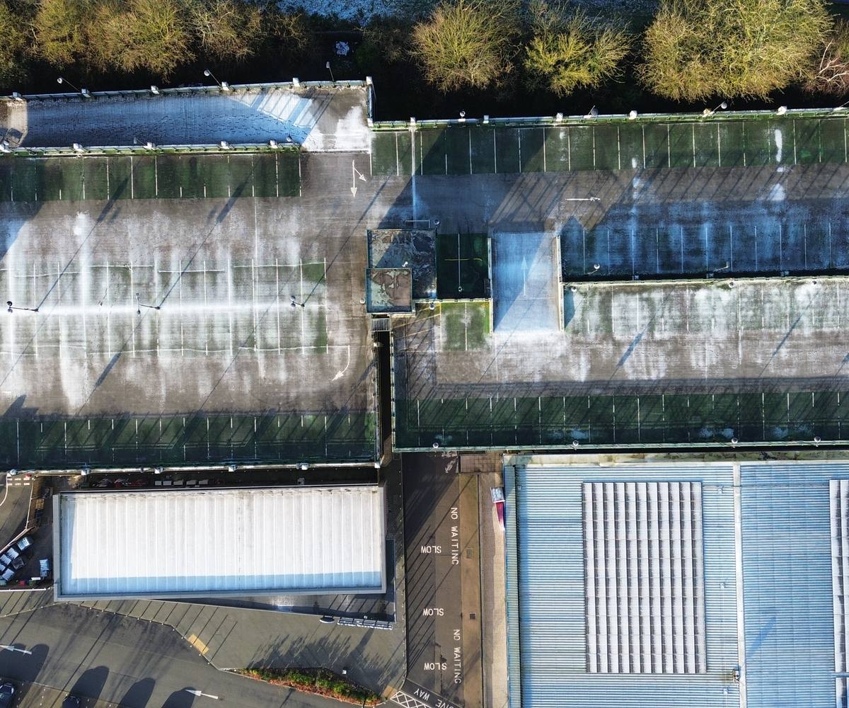
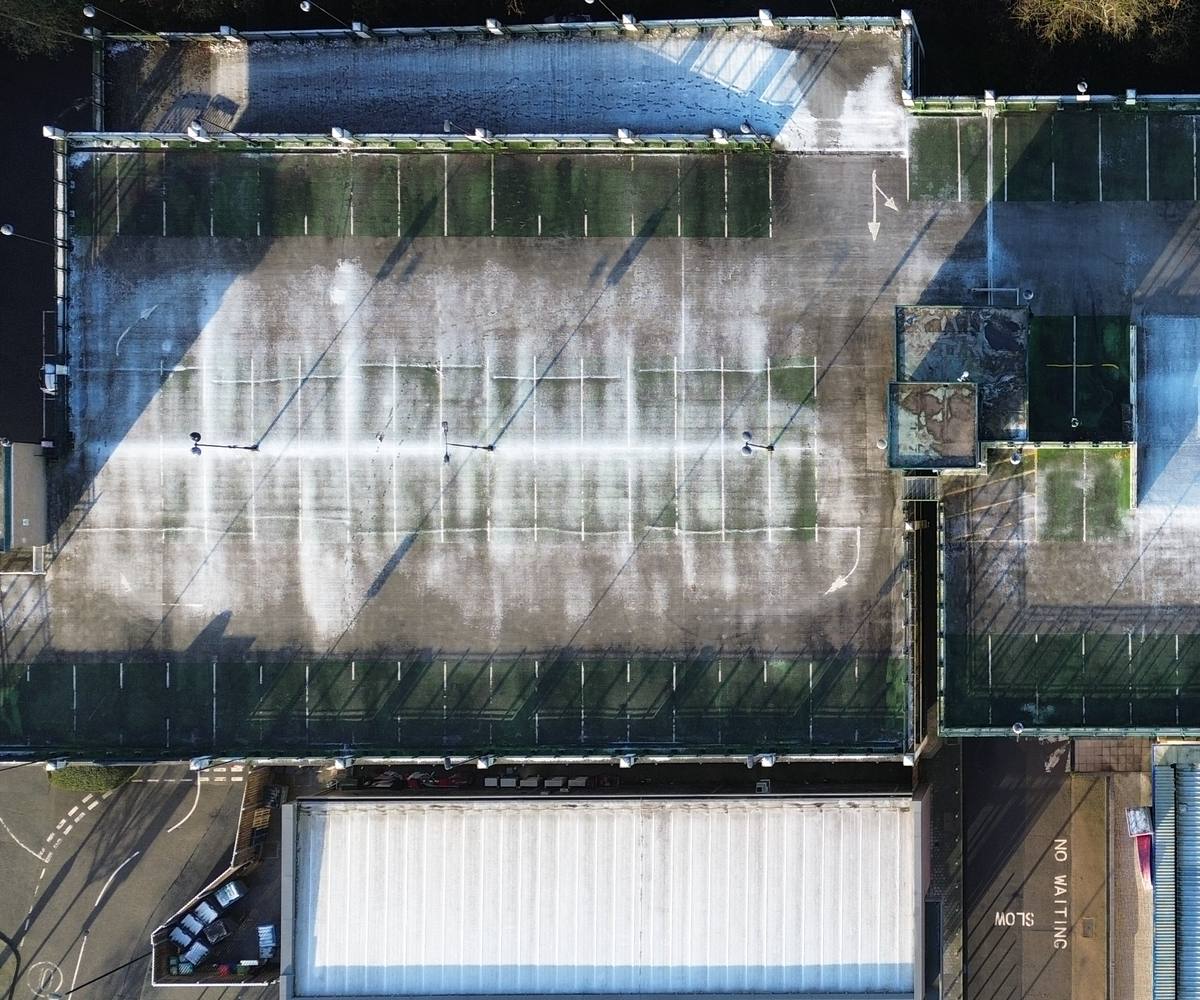
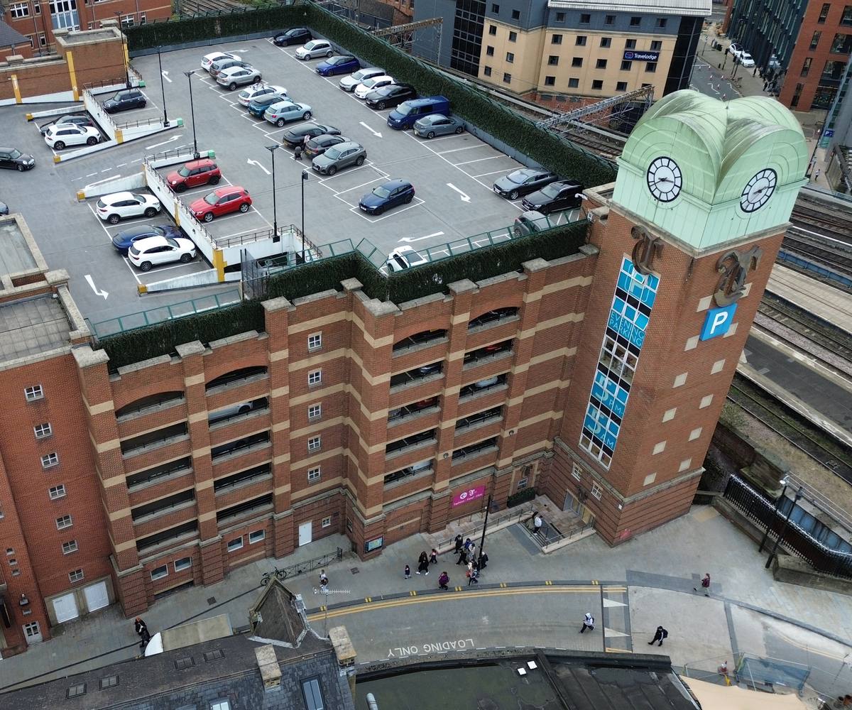
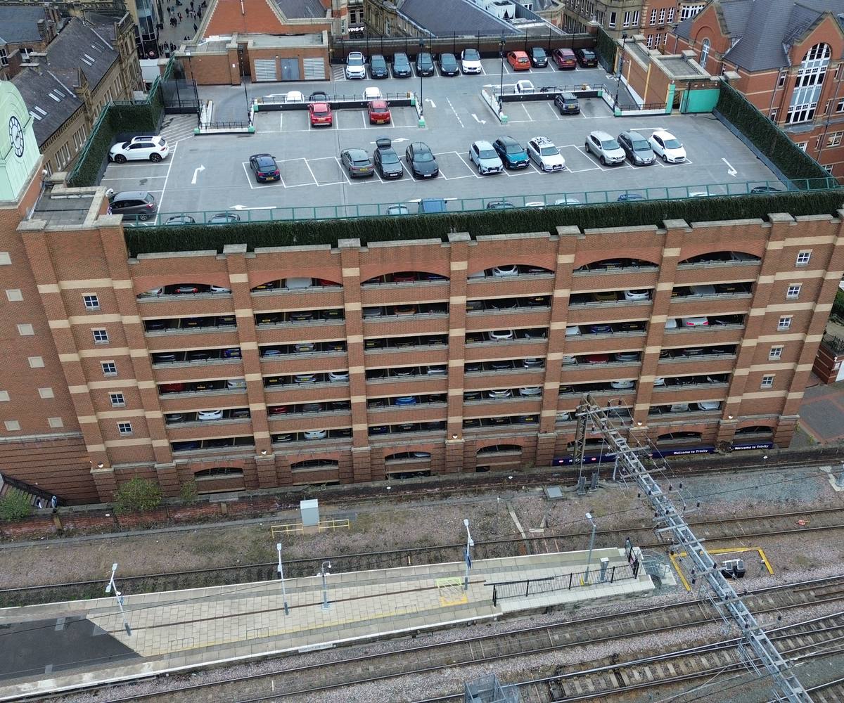
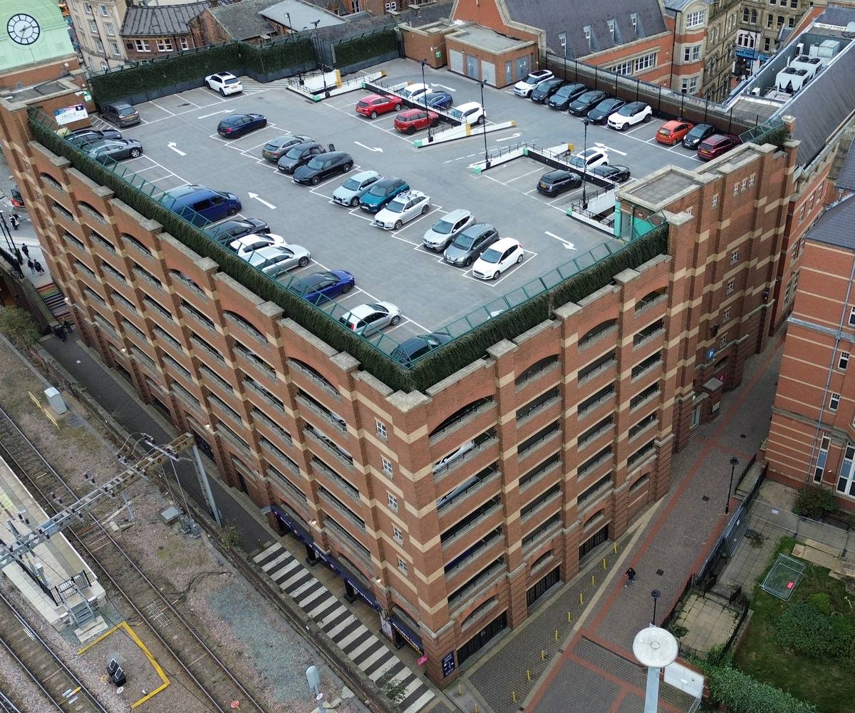
We provide drone concrete surveys carried out by fully licensed and insured drone pilots, delivering safe, efficient inspections of reinforced concrete structures and hard-to-access assets. High-resolution imagery allows early identification of defects such as cracking, spalling, water ingress, and surface deterioration, often without the need for scaffolding or specialist access.

Drone inspections offer a cost-effective, low-disruption solution for live buildings, infrastructure, and high-risk environments. Where defects are identified, our specialist engineers assess the findings and advise on targeted intrusive testing or further investigation only where necessary.

By integrating drone surveys with concrete inspection, testing, and assessment, we help asset managers and engineers reduce risk, control costs and make informed maintenance decisions based on accurate, reliable data.

Get an estimate for your building

Enter the address, check we have the right building and tell us how tall it is. You will see the roof area, the elevations, how long the flights take and what the survey costs.

How a drone survey works

Tell us the building

Use the estimate above or call us. We find the building on the map and agree what needs surveying: the roof, every elevation, or just one.

We plan the flights

Before anyone travels we check the airspace, notices to airmen and the weather, and get the permissions the flights need. The go or no-go call on the weather is made no later than the day before.

We fly the survey

The pilot cones off a take-off and landing area beside the building and flies a series of flights over and around it. No flight passes directly over people or vehicles that are not part of the survey.

We report

Our engineers go through the photographs and write a TCC report: what was found, where it is and what we recommend next, with a defect key written for that building and its materials.

Case study

A 1960s civic headquarters, from the air

A local authority asked us to investigate the precast concrete panels on its civic headquarters, built between 1965 and 1967, where some panels had failed. Before anyone went on a rope, we surveyed every elevation, roof and high level gutter by drone.

The photographs showed staining below the roof edges and window cills, lichen on the fascia bands and grass growing on a flat roof. They also found five places that needed a hand on them: an open corner joint, two run downs on a return elevation, an old repair, a rust streak down a panel and a rough soffit edge.

Those five became the first targets for the rope access survey, and the 3D model gave our draughtsman the elevation drawings while everyone was still on the ground.

145photographs of the whole site
8192 x 6144pixels in every photograph
20 to 40 mflying height, RTK positioned
13D model, with every photograph placed on it

A drone does not replace a surveyor on a rope. It tells the surveyor where to go first.

What a drone survey can and cannot tell you

What the photographs show

  • Cracking, spalling, water ingress and surface deterioration
  • Staining, rust streaks and old repairs
  • Open joints between panels
  • The condition of roofs and high level gutters and downpipes
  • Lichen and vegetation on fascias and flat roofs
  • Elevation dimensions for CAD drawings, taken from the 3D model when the survey is RTK positioned

What a drone cannot do

  • Sound the surface. Hollow or delaminated concrete needs a hammer tap survey by hand
  • See below the surface. Cover to the reinforcement, carbonation and chlorides need testing on site
  • Pick out fine cracks or small movements from 20 to 40 metres away
  • Make anything safe. Loose concrete stays where it is until someone removes it

Where the photographs show something that needs a closer look, our engineers say so and recommend targeted testing or a hands-on survey of those places only, not the whole building.

Drone survey or MakeSafe survey?

Drone survey MakeSafe survey
What it is Aerial photographs of the roof and elevations, reviewed and reported by our engineers A close visual and hammer tap survey of the concrete, by our team working at height
Working at height None. The drone goes up, nobody else does Specialist access to every area surveyed
What it finds Defects visible on the surface Visible defects, plus hollow and loose concrete found by hammer tap
Makes the building safe No Yes. Loose and hazardous concrete is removed and exposed reinforcement is primed
Best for A first look at a whole building, roofs and high areas that are hard to reach, and planning where to test Concrete that may fall, or defects the drone has found that need a hand on them
Cost Our entry-level survey. See the estimate above Priced for each building

Not sure which you need? Call us on 01707 268034 or email info@tcc2000.co.uk and we will tell you. More about specialist access and making safe.

Questions we are asked

Do you need scaffolding or a cherry picker?

Usually not. The drone does the work at height, which keeps the cost and the disruption down. If the photographs show something that needs a closer look, we will recommend access for those places only.

Who flies the drone?

Fully licensed and insured drone pilots, registered with the Civil Aviation Authority and flying under CAA regulations, with £5 million public liability insurance.

What if the weather is bad?

We check the forecast and make the go or no-go call no later than the day before. If the conditions on the day are not safe, the pilot waits for a break in the weather before flying.

What if the building is near an airport?

We check the airspace for every site before we fly. Close to an airport, flights need the airport’s permission, which we apply for. The estimate above warns you if your building may be in one of these zones.

What do you need from us on the day?

Permission to take off and land within the site boundary, and safe access to the site. The pilot sets up a small coned area and will not fly directly over people or vehicles that are not part of the survey.

How soon do we see the results?

The photographs are with us within 48 hours of the flights. Our engineers then review them and write your report.

How accurate is the online estimate?

It is a guide. The building outline comes from OpenStreetMap and the height from the storeys you enter. We confirm a fixed price once we have checked the building and the airspace.

Can you measure the building as well?

Yes. When the survey is RTK positioned, every photograph is placed on a 3D model of the site, and we take the elevation dimensions for CAD drawings from it.

Quality Assured

Drone survey projects

Crawley Leisure Park Car Park

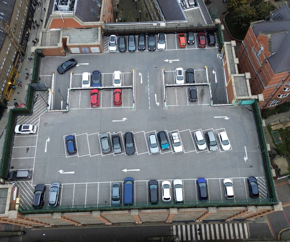
Trinity Car Park

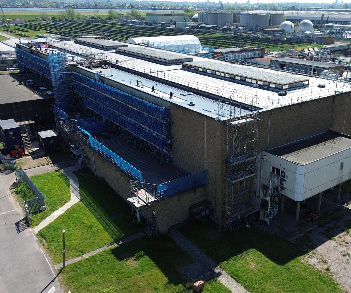
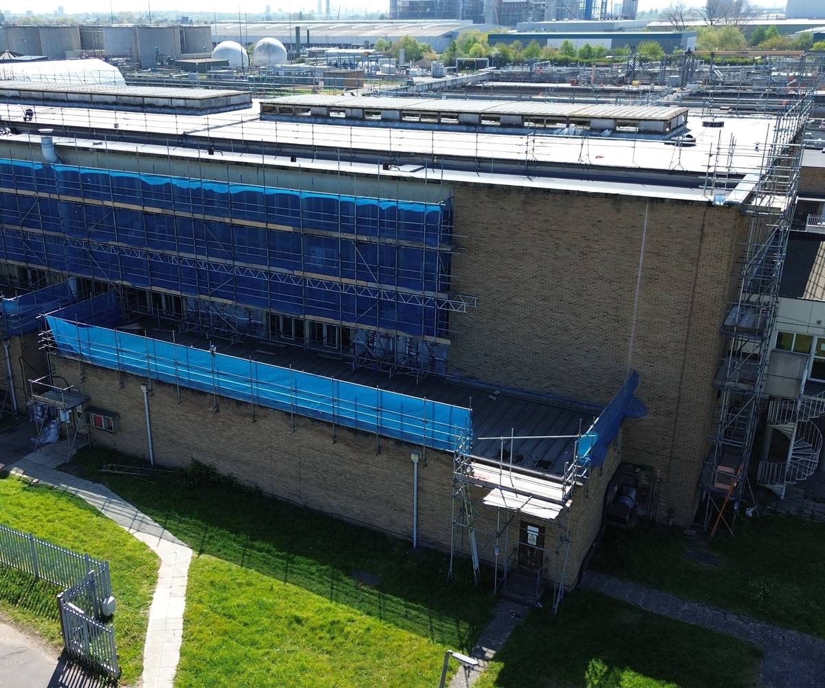
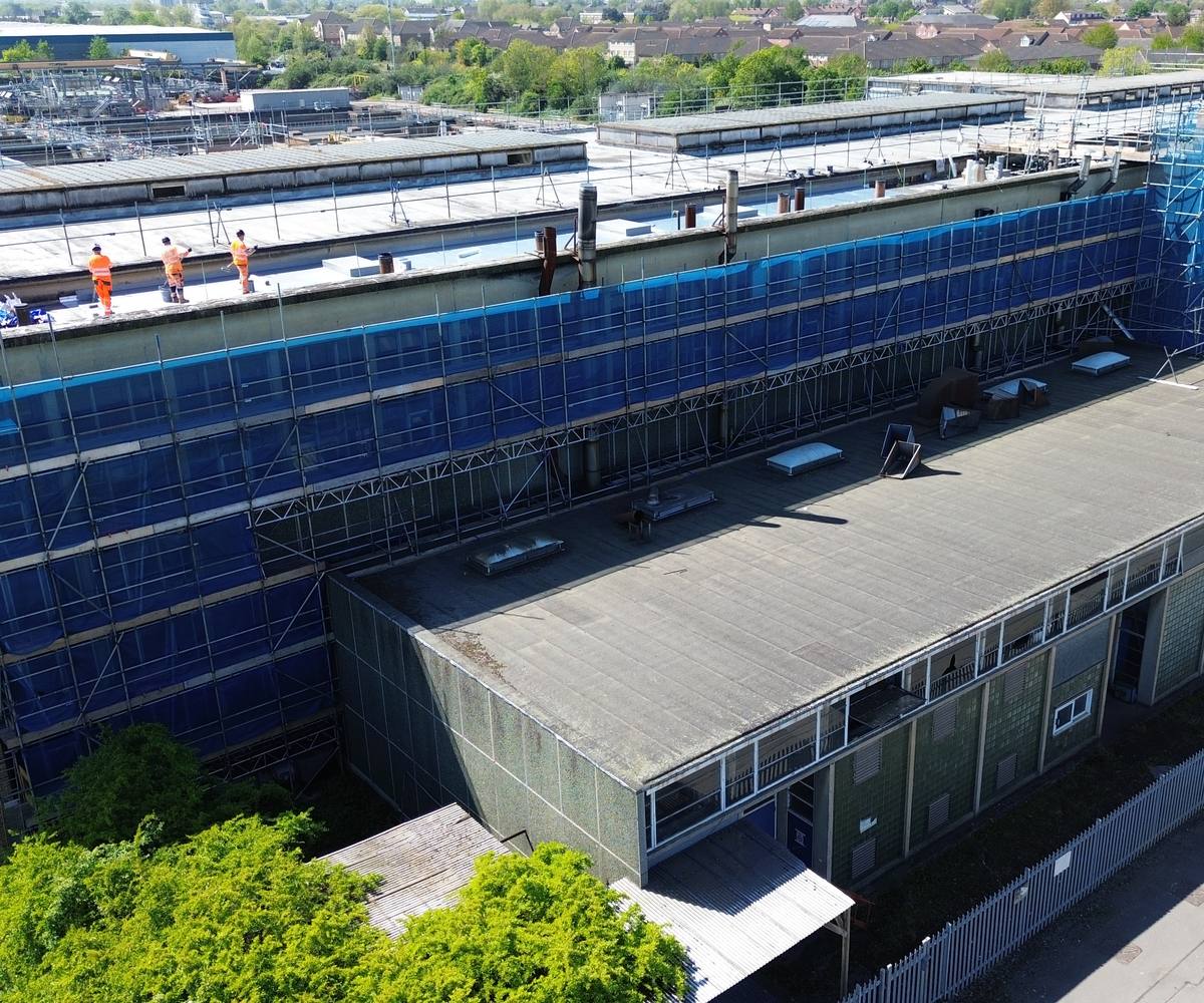
Deephams Sewage Treatment Works

Talk to us today

See how we can help, with a no-obligation initial discussion.

Contact us